Terrain Analysis Series
Detailed local geographic data
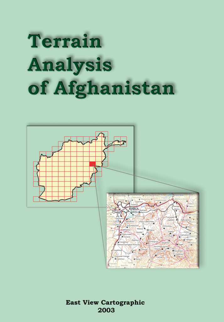
The Terrain Analysis Series utilizes the terrain analysis reports found on the verso side of the 1:200,000 scale Russian military topographic map series. These reports, drawing on detailed on-site surveys and long-term observations, provide an in-depth synopsis of essential geographic information for the country or region covered by the topographic map sheets. The map sheets also contain thousands of geographic place names translated into English in accordance with the U.S. Board of Geographic Names standards. Enhanced and updated with additional data from authoritative sources where possible, these unique resources deliver a descriptive and visual geographic knowledge base of a country’s population and terrain.
Current volumes of the Terrain Analysis series include country coverage of Afghanistan (128 map sheets), Syria and Lebanon (47 map sheets) and Ukraine (154 map sheets). Each volume in the series is composed of individual reports analyzing the terrain and relevant geography of a single 1:200,000 scale map sheet, with a full-color small-scale overview topographic map and soil map of the region under examination accompanying the report.
Terrain Analysis volumes are available in print, online and e-book format from our publishing imprint, East View Press. XML datafeeds are also available; please contact us for details.