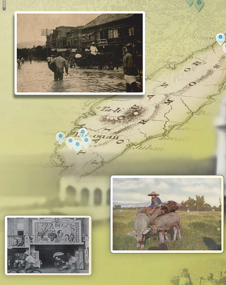
Taiwan Image Explorer
Georeferenced Historical Photographs 1895‒1945
The Taiwan Photo Gallery/GIS Database (台灣百年寫真GIS資料庫) is a collection of 25,000 photographs from 1895 to 1945. The digitized images are presented in an innovative way by including the GIS mapping coordinates as well as interpretive material. This enriches the contents by encouraging new insights on the interrelationship between space and time for these important records of Taiwanese history and culture during the period of Japanese colonial rule. Their content informs research on history and historical events, geography, literature, education, news, leisure, transportation, economics, architecture, tourism, war, Taiwanese aborigines, railroads, tea and other subjects.
The Taiwan Photo Gallery/GIS Database offers a dynamic and innovative way to study Taiwan’s history through the lens of photography and modern technology. By combining historical imagery with GIS mapping, the project provides a more immersive and interactive learning experience, making it an invaluable resource for researchers, students, and anyone interested in the historical development of Taiwan.
With its rich collection of 25,000 photographs, this database serves not only as a digital archive but also as a knowledge-based resource that opens new doors for exploring Taiwan’s complex historical landscape. Whether for academic research, educational purposes, or cultural preservation, the Taiwan Photo Gallery/GIS Database is an essential tool for anyone seeking to understand the island’s rich and multifaceted history.
